Getting Around Sydney: Roads, Public Transport and Connections
A general explainer on how Sydneysiders move across a harbour-split, sprawling city by road, rail, ferry and light rail, and the long-running projects reshaping those journeys.
A general explainer on how Sydneysiders move across a harbour-split, sprawling city by road, rail, ferry and light rail, and the long-running projects reshaping those journeys.
Listen to this article · 3:45
This is a general explainer about how people move around Sydney and its surrounding region, not financial, investment or business advice. Detailed figures such as fares, timetables, travel times and project costs change over time, so anyone making decisions should check current information from Transport for NSW, their local council or the relevant operator before relying on it. What follows focuses on the durable shape of the city's transport network rather than precise numbers.
What makes getting around Sydney distinctive is the harbour itself. The city is split by a large drowned river valley, and for generations the Sydney Harbour Bridge was the single fixed crossing between the central business district on the southern shore and the suburbs of the lower North Shore. The bridge is now complemented by the Sydney Harbour Tunnel beneath the water, and the two together remain the main road links across the harbour. This geography, combined with a sprawling footprint that stretches west toward the Blue Mountains and south toward the Illawarra, means Sydney developed an unusually water-borne and rail-dependent travel culture compared with flatter Australian capitals. Transport for NSW, the state transport department, plans and coordinates the network across these natural barriers.
On the roads, Sydney is shaped by a network of motorways that carry traffic around and through a constrained centre. The M1 corridor links the city toward the Central Coast and Newcastle in the north, while the M4 runs west toward Parramatta and the Blue Mountains, the M5 heads south-west, and the M7 provides an orbital link through the western suburbs. In recent years much of the cross-city traffic has been moved underground through the WestConnex tunnels and associated motorway projects. Parramatta Road and the Pacific, Hume and Princes highways remain important surface routes, and many of Sydney's motorways are tolled, with charging and concession details published by Transport for NSW and the road operators.
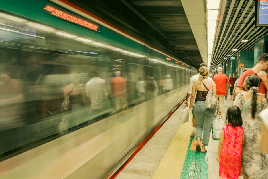
Public transport in Sydney is anchored by an extensive suburban rail network, the Sydney Trains system, which radiates from the underground City Circle in the central business district out to Parramatta, Penrith, Campbelltown, the northern suburbs and beyond. This is reinforced by the Sydney Metro, a separate driverless rapid-transit system that Transport for NSW has been progressively expanding to connect the north-west, the city centre and other corridors. Buses run throughout the metropolitan area and are the backbone of travel in suburbs not served by rail. The whole network, including trains, metro, buses, ferries and light rail, is paid for with the contactless Opal system, and many councils, including the City of Sydney, coordinate with the state on bus priority, cycling routes and pedestrian access.
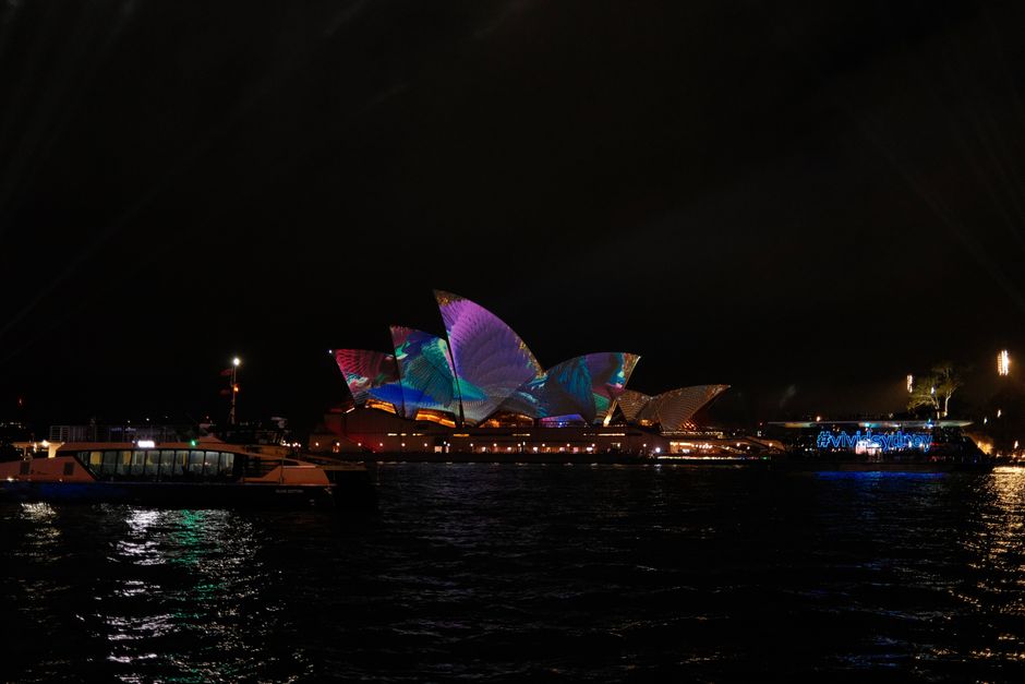
Sydney also retains genuine water and tram services that many cities lack. Sydney Ferries operate across the harbour and along the Parramatta River, with Circular Quay as the central hub, giving commuters from places like Manly, Mosman and the inner west a scenic alternative to road and rail. Light rail has returned to the city in recent decades: lines now run from Central Station through the inner west, along George Street through the central business district to the south-east toward Randwick and Kingsford, and a separate light rail operates in the Parramatta area. These services, alongside the metro, reflect a long-term effort by Transport for NSW to reduce reliance on the most congested road and heavy-rail corridors.
For air travel and intercity links, Sydney Airport at Mascot is the principal gateway, sitting close to the central business district and connected to the rail network by the Airport Link line, which the airport authority and Transport for NSW note allows train access directly to the domestic and international terminals. A second major airport, Western Sydney International at Badgerys Creek in the city's west, has been developed to serve the growing western suburbs, with new road and metro connections planned around it. Intercity rail services link Sydney with the Central Coast, Newcastle, the Blue Mountains, the Southern Highlands and the South Coast, and coach and regional rail services extend further across New South Wales.
Typical commuting patterns reflect this layered system and the city's geography. Many workers travel from the western and south-western growth suburbs toward employment centres in the central business district, North Sydney and the increasingly important second hub of Parramatta, often combining a train or metro trip with a bus or a walk. Peak-hour congestion is heaviest on the harbour crossings and the main motorway corridors, which is one reason ferries, cycling and flexible working have a meaningful role in how Sydneysiders manage their journeys. Transport for NSW publishes travel data and trip-planning tools to help people compare options across modes.
Major transport projects continue to reshape how the region connects. The staged rollout of Sydney Metro, the development of Western Sydney International Airport and its surrounding transport links, and ongoing motorway and active-transport works are all part of a long-term strategy by Transport for NSW, working with local councils such as the City of Sydney and the airport authorities, to manage a fast-growing population. Because timelines, routes and costs for these works are revised over time, anyone relying on a particular project should confirm its current status through official sources rather than older summaries.
Sources: Transport for NSW, Transport for NSW trip planner (transportnsw.info), Sydney Metro, Sydney Airport, Western Sydney International Airport, City of Sydney.
This article was compiled by AI from the sources linked above and screened before publishing. See our editorial standards.
How does this story make you feel?
Spread the word
About this article
Published by The Daily Sydney
Daily brief
Free, in your inbox before 7am. Weekdays.
More in Community