By the Numbers: What Sydney's Housing Data Really Reveals About Our Planning Crisis
As Metro West takes shape and Western Sydney sprawls, the statistics behind NSW's housing policy paint a picture of ambition clashing with affordability.
As Metro West takes shape and Western Sydney sprawls, the statistics behind NSW's housing policy paint a picture of ambition clashing with affordability.
Sydney's housing crisis isn't just felt in competition for apartments in Parramatta or Penrith—it's written in the data. New figures emerging from planning authorities reveal the gulf between policy targets and ground reality, offering crucial insights into how the city is reshaping itself.
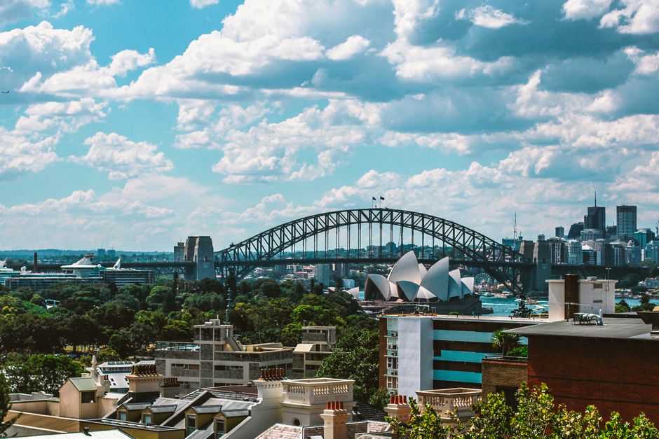
The numbers tell a stark story. Greater Sydney's population is projected to reach 6.4 million by 2041, yet recent annual housing completions hover around 45,000 dwellings—far below the 58,000 annually needed to meet demand, according to planning forecasts. In Western Sydney alone, councils are zoning for approximately 157,000 new homes across the next two decades, with Penrith and Parramatta bearing much of that burden as Metro West construction progresses toward its 2030 opening.
Median house prices tell another story entirely. Properties in outer suburbs like Glenmore Park and Mount Druitt have climbed to $680,000–$750,000, up roughly 28 percent since 2020. Meanwhile, inner-ring suburbs from Strathfield to Homebush—areas theoretically gaining transport connectivity—have seen median values exceed $1.2 million. The data suggests density policy isn't translating to affordability at the scale needed.
Apartment construction in the CBD and Alexandria has accelerated, with 12,400 apartments completed in Greater Sydney during 2025 alone—predominantly investor-grade stock. Yet first-home buyer participation has contracted by 31 percent over three years, according to lending data, underscoring a disconnect between supply and accessibility.
The Metro West project itself embodies the numbers game. Investment of $20.1 billion is predicated on densification targets around Parramatta, Westmead, and other stations—planners estimate 45,000 jobs and 65,000 residents within walkable catchments by 2036. Whether infrastructure can keep pace remains an open question: traffic modeling suggests congestion on Parramatta Road and M4 corridors will worsen before improving, even with the metro operational.
Port Botany's container throughput—which reached 2.9 million TEU in 2024—adds another layer. The port's expansion plans assume sustained employment and population growth, further pressuring land availability and affordability across southern and western zones.
For policymakers, the numbers expose uncomfortable truths. Zoning aspirations in places like Strathfield and Inner West remain constrained by infrastructure gaps and community resistance. Affordability targets—the NSW government's push for 15 percent of new homes to be affordable—would require roughly 8,700 affordable units annually. Current delivery sits at approximately 3,200 units per year across the state.
As the next phase of urban planning unfolds, Sydney's data suggests bold targets without corresponding investment in transport, services, and affordable housing mechanisms risk deepening the very crisis planners aim to solve.
This article was compiled by AI and screened before publishing. See our editorial standards.
How does this story make you feel?
Spread the word
About this article
Published by The Daily Sydney
Daily brief
Free, in your inbox before 7am. Weekdays.
More in News


