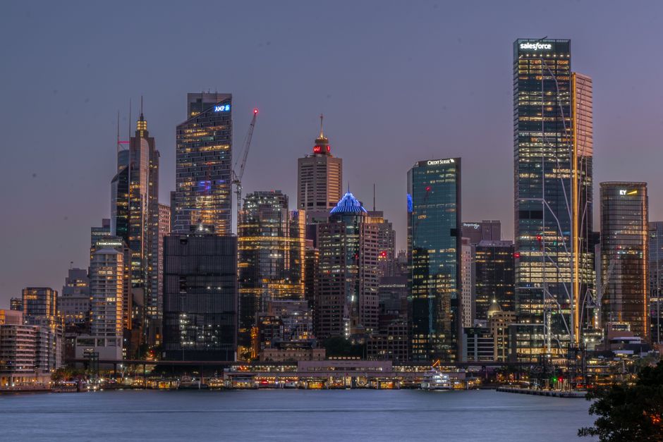
The City of Sydney Council approved a $47 million digital infrastructure commitment in June 2026, accelerating a transformation agenda that will touch everything from parking sensors on George Street to flood-warning systems beneath the Wolli Creek catchment. The funding, drawn partly from the NSW Government's Smart Places Strategy allocation, signals that the city's public sector technology push is entering its most ambitious phase yet.
The timing matters because Sydney is under real competitive pressure. Melbourne's Fishermans Bend precinct has already deployed a functioning urban digital twin — a live 3D data model of infrastructure and services — and Brisbane used its 2032 Olympics preparation to lock in long-term smart sensor contracts. Sydney's planners are acutely aware the window to set the standard for Australian gov tech is narrowing fast.
What's Actually Being Built
The centrepiece of the next 18 months is the expansion of the Greater Sydney Commission's Spatial Digital Twin platform, which currently covers a 50-kilometre corridor from Penrith to the Harbour. By mid-2027, the Commission plans to extend real-time data feeds to include stormwater infrastructure, active transport routes, and energy grid load across the Western Sydney Aerotropolis zone around Bradfield City Centre. Council documents describe the twin as the primary decision-making layer for infrastructure spending — meaning planners won't sign off on major works without consulting it first.
Transport for NSW is separately rolling out what it calls the Connected Intersections Program across 220 traffic signals between Parramatta Road and the M4 corridor. The program uses edge-computing hardware mounted on existing signal poles to process vehicle counts, pedestrian crossings, and cyclist movements locally, without sending raw footage to central servers — a direct response to community concern about surveillance overreach. Trials at the Harris Street and Broadway intersection in Ultimo showed a 14 percent reduction in average wait times during the three-month pilot that wrapped up in April.
On the payments and access side, Service NSW is targeting a single digital credential for city services — one authenticated identity that covers library membership, council rates, park permit bookings, and eventually public transport concessions. The pilot, running through the Bayside Council area from September 2026, builds on the existing NSW Digital ID framework and is designed to absorb lessons from Victoria's fumbled MyVicRoads consolidation in 2024.
The Harder Problems: Data, Privacy and Procurement
None of this is frictionless. A NSW Auditor-General report released in March 2026 found that 61 percent of state government technology projects over $5 million had exceeded their original budget, and that vendor lock-in remained the single biggest systemic risk in public sector tech procurement. The City of Sydney has responded by mandating open-standard APIs on any new smart city contract signed after January 2026, a clause that effectively rules out several proprietary sensor platforms that dominate the global market.
Community advocates, including the Digital Rights Watch chapter based in Newtown, have flagged the Connected Intersections Program specifically, arguing that even anonymised movement data aggregated over time can re-identify individuals. Transport for NSW has committed to publishing a data governance framework before the full rollout begins in November — but that document has not yet appeared publicly.
Smaller operators are also watching the procurement pipeline closely. The Stone & Chalk tech hub at 50 Bridge Street has been running a GovTech accelerator cohort since February, with eight startups working on solutions ranging from real-time council asset maintenance alerts to accessible wayfinding for vision-impaired pedestrians in the CBD. Three of those companies are understood to be shortlisted for contracts under the 2026-27 Smart Places grant round, which closes on 31 August.
For residents, the most visible changes will arrive in stages. Digital wayfinding kiosks replacing ageing signage along the Barangaroo foreshore are scheduled for installation by December 2026. The Parramatta Light Rail corridor is slated to receive integrated air quality and noise monitoring nodes by March 2027. And the long-delayed open-data dashboard for real-time bin collection and street cleaning — a project first announced in 2023 — is apparently back on track for a Q1 2027 launch, according to council budget notes reviewed this week.